|
Burundi
Please find brief statistics concerning the digital map of the country and its major cities.
Promo price: just $1000 for the map of any city!
If you are interested in purchasing a map, or if you have any questions, please do not hesitate to contact us the way you prefer:
All the maps are supplied with the Standard or Premium set of layers
| Name of mapping layer
| Standard
| Premium
|
| Regions: Countries, Districts, Cities, Buildings, BUA, Vegetation, Hydrography, and etc. |
 |
|
| Polylines: Road Network, Hydrography, Railroad ways |
|
|
| Points: City Center, Address, Railroad stations, Road Network Nodes |
|
|
| Geographical Names, Administrative Divisions, , Infrastructure objects |
|
|
| All signs and navigational maneuvers for road network, POI, Business Listing |
|
|
| Type, Class, Speed, Pavement of Road, Transport, Lane Connections, Entry Points |
|
|
| Relief & Building's Height, 3D Models of Buildings & Facilities |
|
|
We will supply map data in any format you choose according to the requirements of your project.
Source formats we keep and process the maps in are ArcGis, MapInfo, MapPolish (mp).
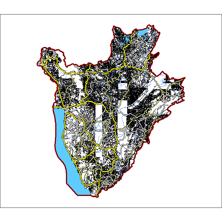
Short country statistics
| DataSet
| Coverage, sq km |
Routing Length, km |
Routing Nodes |
Routing Segments |
Routing Labeled Segments |
Routing Restrictions |
Buildings |
Buildings Heights |
Addresses |
POI |
| Burundi |
27098 |
52486 |
117246 |
162736 |
974 |
1 |
20 |
0 |
0 |
3084 |
Live screenshots from our Dataset
 |
 |
 |
 |
 |
|
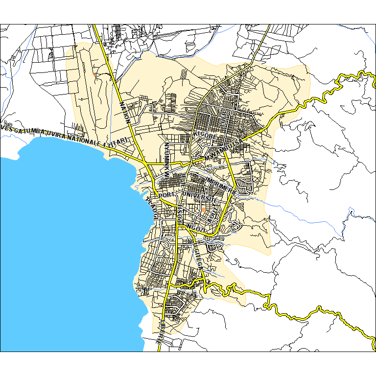
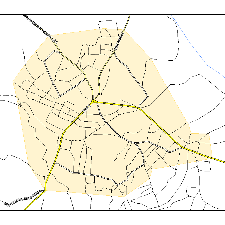
Short statistics for most important cities with detailed coverage
| Name English |
Name Local |
Addresses |
Buildings |
Streets |
Routing Length, km |
Area, sq km |
| BUJUMBURA |
BUJUMBURA |
0 |
20 |
107 |
946 |
112 |
| MAKAMBA |
MAKAMBA |
0 |
0 |
6 |
30 |
3 |
| NYANZA |
NYANZA |
0 |
0 |
5 |
52 |
4 |
| MUYINGA |
MUYINGA |
0 |
0 |
3 |
40 |
3 |
| NGOZI |
NGOZI |
0 |
0 |
2 |
42 |
4 |
| GITEGA |
GITEGA |
0 |
0 |
2 |
161 |
17 |
| KAYANZA |
KAYANZA |
0 |
0 |
2 |
39 |
6 |
|